
A Tutorial on GeoAI: Designing Footprint Extraction from NAIP Imagery Using U-Net, Grounding DINO, SAM, and Mask R-CNN
TL;DR AI
2 min readKey summary
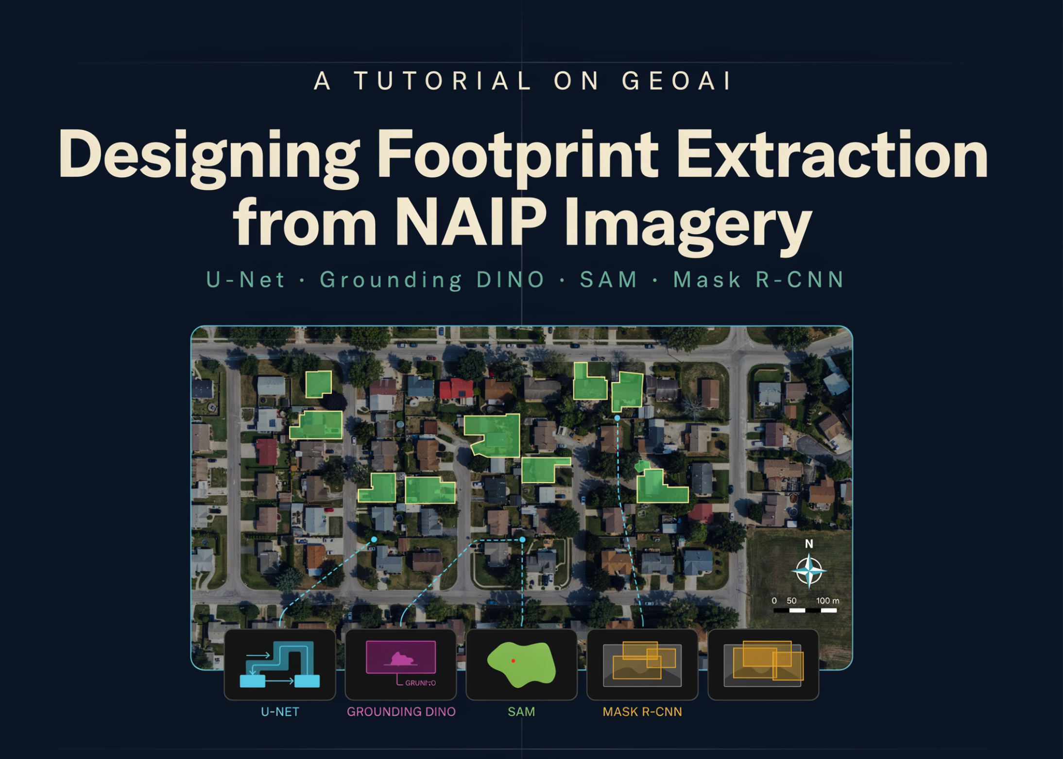
This tutorial builds a GeoAI pipeline to extract building footprints from NAIP aerial imagery.
It covers preparing NAIP imagery and building labels, training a U-Net with a ResNet-34 encoder, and running sliding-window inference plus polygon conversion.
Results are evaluated with IoU and F1, while Grounding DINO + SAM zero-shot segmentation and a pretrained Mask R-CNN are also compared.
The workflow is then applied to real areas using Microsoft Planetary Computer and Overture Maps data.
Same topic

