
GSI releases nationwide deformation map using ALOS-4 SAR data, showing widespread subsidence
TL;DR AI
2 min readKey summary
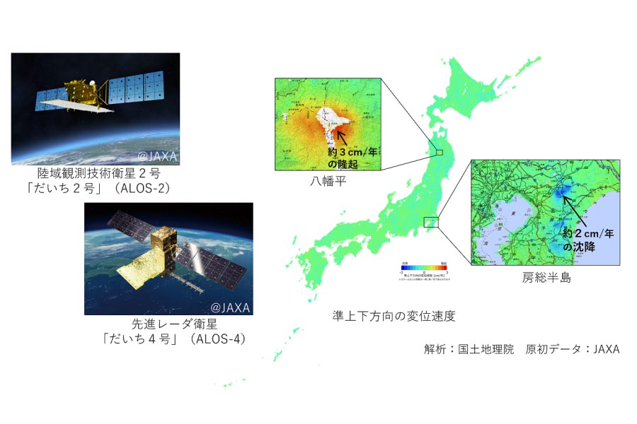
GSI published a nationwide deformation map using ALOS‑4 SAR data on March 31, 2025.
This is the first survey result that uses JAXA’s ALOS‑4 observations, with routine operation starting April 2025.
The analysis covers data through November 23, 2025, and the map is available on the GSI web map.
Numerical data and a measurement manual were released to support local subsidence investigations.
Same topic